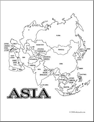
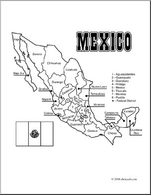
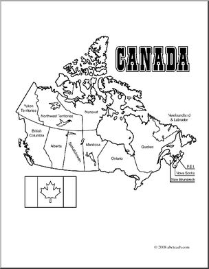
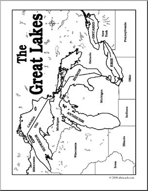
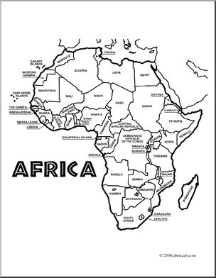
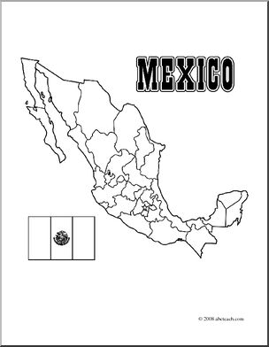
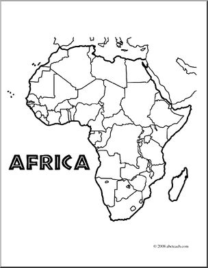
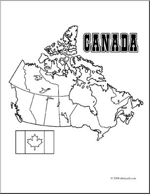
Maps worksheets for students are valuable tools for enhancing their geographical knowledge and spatial awareness. These worksheets typically include activities such as labeling continents and countries, identifying key geographical features like mountains and rivers, and plotting coordinates on maps. These worksheets make learning geography enjoyable and help students understand our world's interconnectedness and appreciate the importance of maps as navigation aids and tools for understanding our planet.
Content / Middle School/Junior High / Social Studies / Geography / Continents / Antarctica
Media Type jpg
Content / Middle School/Junior High / Social Studies / Geography / Continents / Antarctica
Media Type jpg

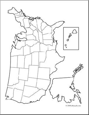
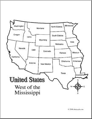
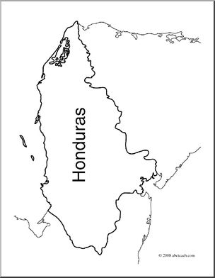
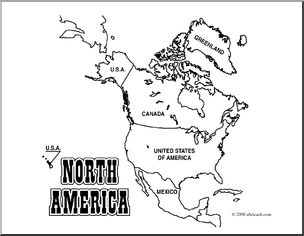
Content / Clip Art / Maps / United States
Media Type pdf
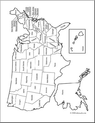
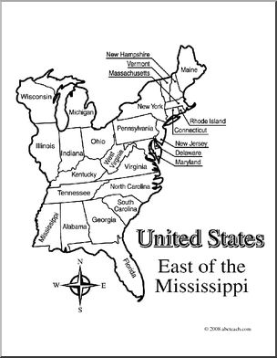
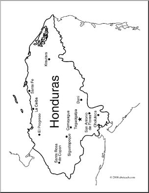
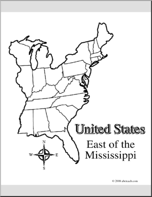
Content / Clip Art / Maps / United States
Media Type pdf
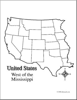
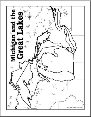
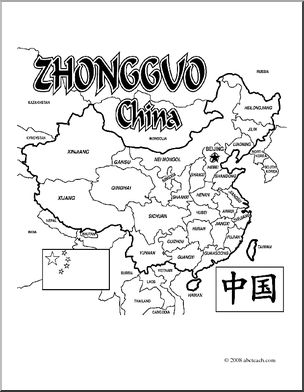
Content / Clip Art / Maps / United States
Media Type pdf
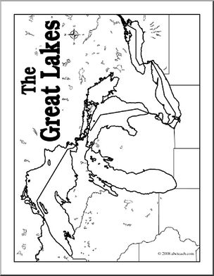
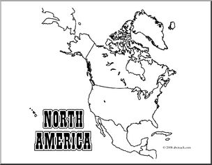
Content / Clip Art / Maps / United States
Media Type pdf
Content / Clip Art / Maps / United States
Media Type pdf
Content / Clip Art / Maps / United States
Media Type pdf
Content / Clip Art / Maps / United States
Media Type pdf

Content / Clip Art / Maps / United States
Media Type pdf
Content / Social Studies / Maps / Canada
Media Type pdf
Content / Clip Art / Maps / United States
Media Type pdf


Content / Social Studies / Maps / Canada
Media Type pdf
Content / Clip Art / Maps / United States
Media Type pdf